processed
PDF files1
Pages3
Objects24
Processing100%
main viewer
Selected page objects
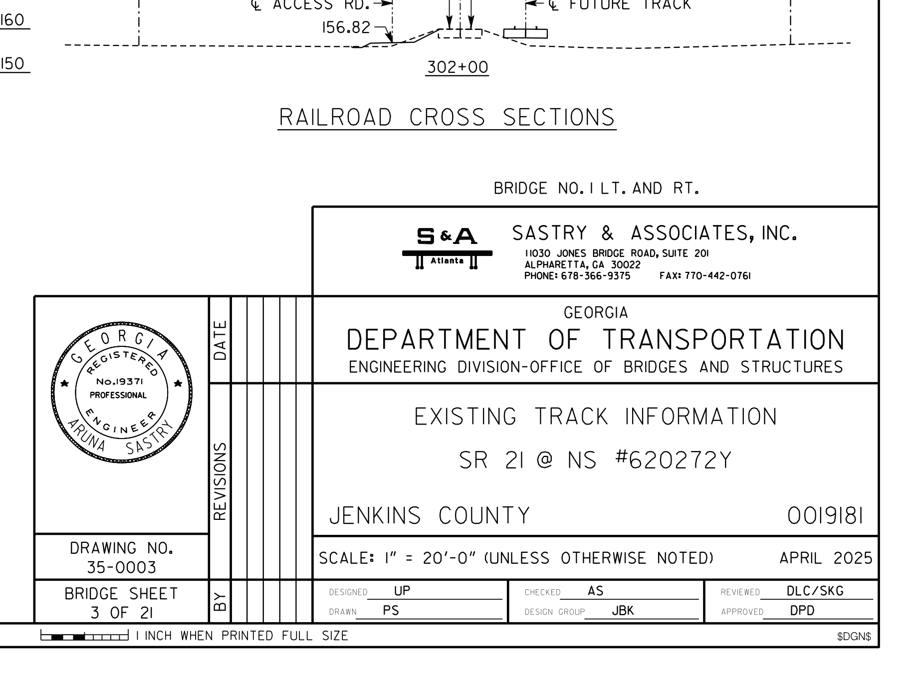 Title Block
 Railroad Cross Sections At Existing Future Track And Access Road
 Surveyed Top Of Rail Elevations
 Existing Railroad Track Alignment And Bridge Limits At Sr 21 Crossing
 Title Block With Project Identification Number
cropped image preview
CloseExisting Railroad Track Alignment And Bridge Limits At Sr 21 Crossing
- Object
- Existing Railroad Track Alignment And Bridge Limits At Sr 21 Crossing
- Explanation
- plan of existing rail alignment with bridge limits and rail elevation table
- View
- plan, table
- Structure
- n/a
- Part of structure
- n/a
- Shows
- n/a
- Component
- existing_railroad_track_alignment_and_bridge_limits_at_sr_21_crossing
- Identifier
- n/a
- Section
- n/a
- Drawing no.
- n/a
- Scale
- n/a
- Discipline
- rail
- Accuracy
- 90%+
- Tier
- max
- Page
- 355
- Bounding box
- 0.000, 0.000, 0.697, 1.000
- Remarks
- No validated same-instance relation.
- QA comments
- review_required=False; mapping_relation=unresolved_singleton
- Linked tables
- SURVEYED TOP OF RAIL ELEVATIONS (same page)
- Cloudinary URL
- Open image
Raw extracted data
{
  "id": 4401,
  "type": "Substructure",
  "view-angle": "none",
  "bbox": [
    0,
    0,
    0.6972352941176471,
    1
  ],
  "confidence_score": 0.75,
  "remarks": "No validated same-instance relation.",
  "qa-comments": "review_required=False; mapping_relation=unresolved_singleton",
  "column": "existing_railroad_track_alignment_and_bridge_limits_at_sr_21_crossing",
  "url": "https://res.cloudinary.com/laiuauox/image/upload/v1785704668/edapro/gdot_plan-d2e40218740d4c838fa740db83aa90ff/items/existing_railroad_track_alignment_and_bridge_limits_at_sr_21_crossing_p03_r01.png",
  "item_key": "existing_railroad_track_alignment_and_bridge_limits_at_sr_21_crossing_p03_r01",
  "label": "Existing Railroad Track Alignment And Bridge Limits At Sr 21 Crossing",
  "caption": "plan of existing rail alignment with bridge limits and rail elevation table",
  "view_type": "plan",
  "section_label": null,
  "region_kind": "drawing",
  "drawing_number": null,
  "scale": null,
  "area": "ROB alignment",
  "identifiers": [
    "STA. 17+23.00",
    "STA. 19+15.00",
    "STA. 18+16.85",
    "STA. 303+80.83",
    "302+00",
    "302+50",
    "303+00",
    "303+50",
    "304+00",
    "304+50",
    "305+00",
    "305+50",
    "B.F.P.R. BENT 1L",
    "B.F.P.R. BENT 1R",
    "B.F.P.R. BENT 4L",
    "B.F.P.R. BENT 4R"
  ],
  "referenced_sheets": [],
  "uncertainty_codes": [
    "composite_scope"
  ],
  "tier": "max",
  "identifier": null,
  "discipline": "rail",
  "view_types": [
    "plan",
    "table"
  ],
  "linked_notes": null,
  "linked_tables": "SURVEYED TOP OF RAIL ELEVATIONS (same page)",
  "shape_summary": {
    "circle": 14,
    "rectangle": 54,
    "line_run": 32,
    "polygon": 73,
    "total": 173
  },
  "merged_from": null,
  "page_id": 355,
  "file_id": 65,
  "project_id": "6a6fabd1912a5c0ee11a8ab1",
  "token_count": 729219
}